Sangguniang Bayan of Kiangan
Municipality of KianganSangguniang Bayan
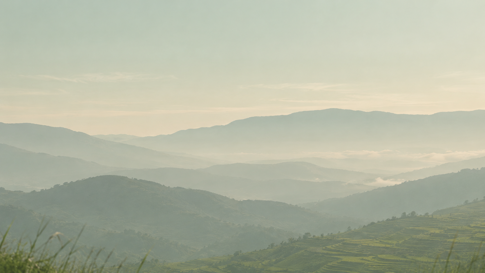
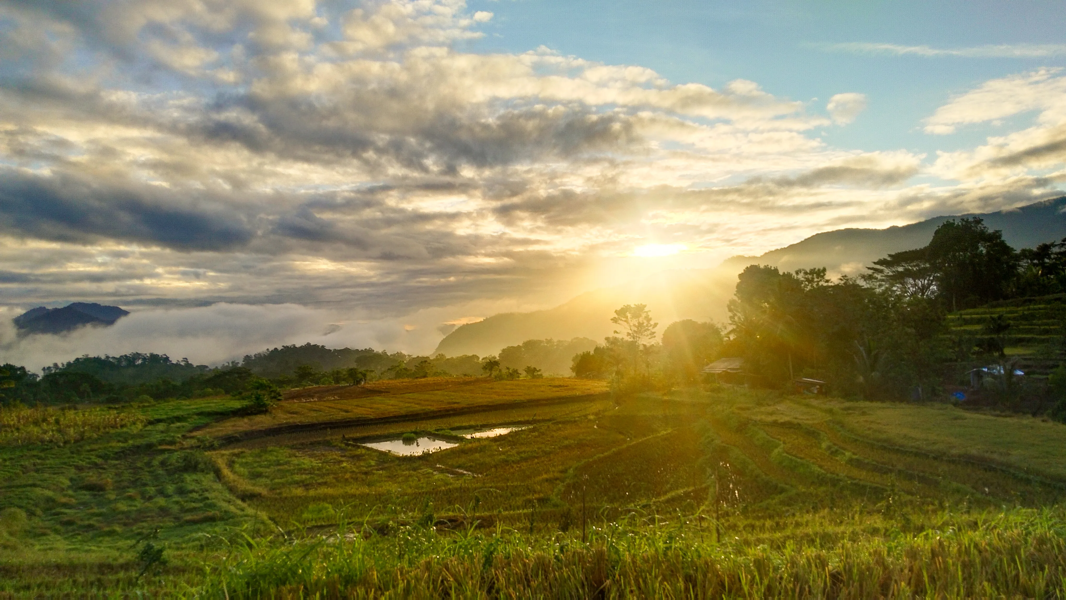
Sunrise over the rice terraces of Kiangan, Ifugao

Kiangan, Ifugao

Where Ifugao
history begins

The oldest town in Ifugao, home of the Nagacadan Rice Terraces, and the place where World War II in the Philippines came to an end.

Barangays
14
Barangays
Residents, 2024 Census
17,849
Residents, 2024 Census
Town in Ifugao
Oldest
Town in Ifugao
Where World War II ended in the Philippines
1945
Where World War II ended in the Philippines

Photo: Aeskjell

The story of Kiyyangan

The oldest town in Ifugao

Kiangan takes its name from Kiyyangan, an ancient village near the Ibulao River. In Ifugao tradition, it was the home of Wigan and Bugan, the first ancestors of the Ifugao people.

For centuries the town was the centre of Ifugao life. It served as the capital through the Spanish, American, and Japanese periods, and in 1945 it was here that the war in the Philippines came to an end.

Today Kiangan is a town of fourteen barangays, where rice terraces are still farmed and festivals like Bakle keep old traditions alive.

  1. c. 800 years ago

    Old Kiyyangan Village

    An ancient village near the Ibulao River, believed to be the home of Wigan and Bugan, ancestors of the Ifugao. The town takes its name from it.

  2. Spanish to Japanese era

    Capital of Ifugao

    Kiangan served as the capital of Ifugao through the Spanish, American, and Japanese periods.

  3. 2 September 1945

    Yamashita surrenders

    General Tomoyuki Yamashita surrendered to Filipino and American forces in Kiangan, ending the Japanese occupation of the Philippines.

  4. 1949

    Capital moves to Lagawe

    The seat of the provincial government moved from Kiangan to Lagawe.

  5. 1959

    Lamut is created

    The municipality of Lamut was formed from part of Kiangan.

  6. 1975

    Kiangan National Shrine

    The shrine commemorating the end of the war was dedicated and declared a military shrine.

  7. 1992

    Asipulo is created

    The municipality of Asipulo was formed from part of Kiangan.

Landscape · History · Culture

What makes Kiangan

The terraces that feed it, the shrine that remembers it, and the traditions that carry it forward.

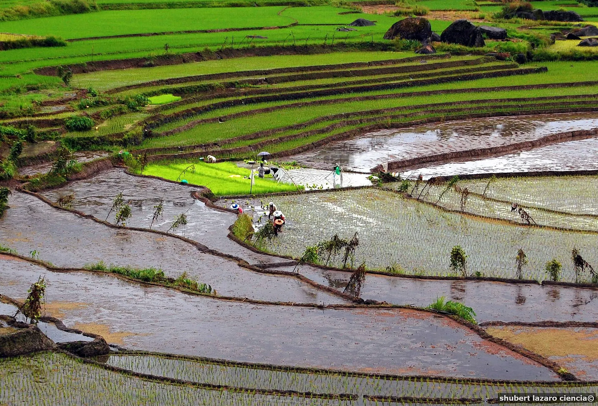
Farmers planting in the flooded Nagacadan Rice Terraces

Cultural landscape

Nagacadan Rice Terraces

Rising in rows on both sides of a river, the Nagacadan terraces are part of the Rice Terraces of the Philippine Cordilleras, a UNESCO World Heritage Site.

They are still farmed today, following a rice cycle and knowledge handed down through generations of Ifugao families.

Barangay
Nagacadan
Recognition
UNESCO World Heritage
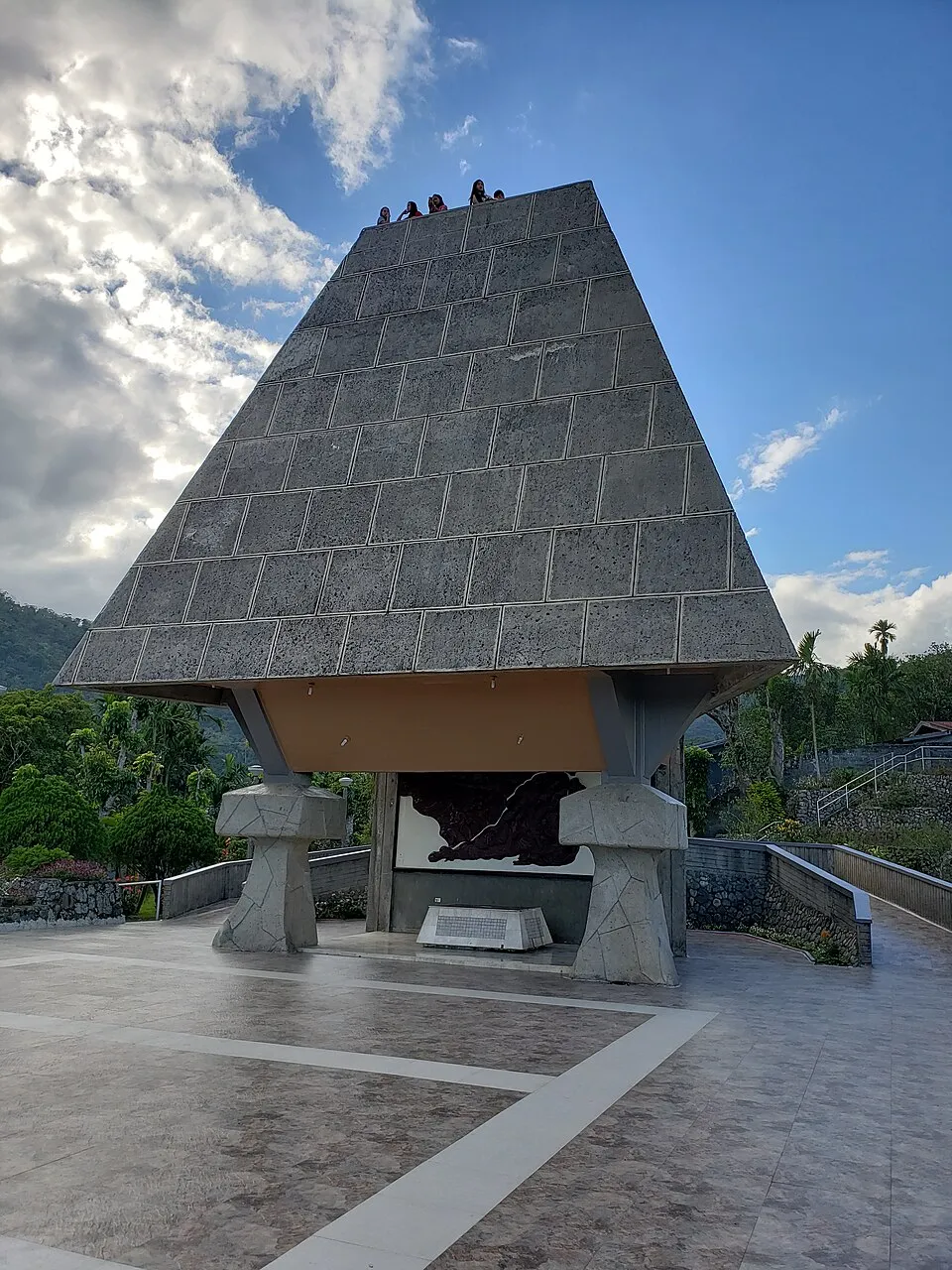
The pyramid-shaped Kiangan National Shrine
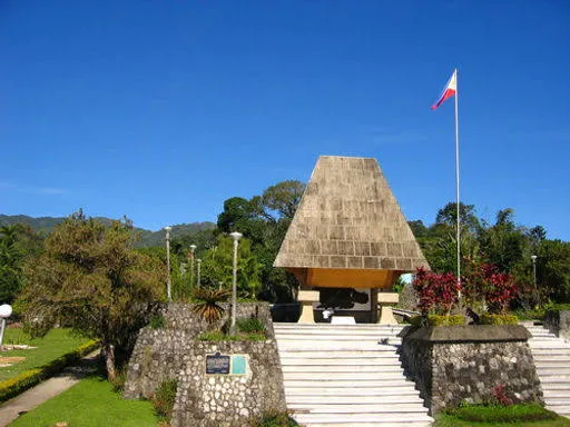
Steps leading up to the Kiangan National Shrine

Historical landmark

Kiangan National Shrine

Also known as the War Memorial Shrine or Yamashita Shrine

The shrine marks the end of World War II in the Philippines. General Tomoyuki Yamashita surrendered in Kiangan on 2 September 1945, at the old home economics building of Kiangan Central School.

Built in 1974 and dedicated the following year, the shrine honours the Allied veterans of the war and is a declared National Landmark.

Dedicated
1975
Managed by
Philippine Veterans Affairs Office
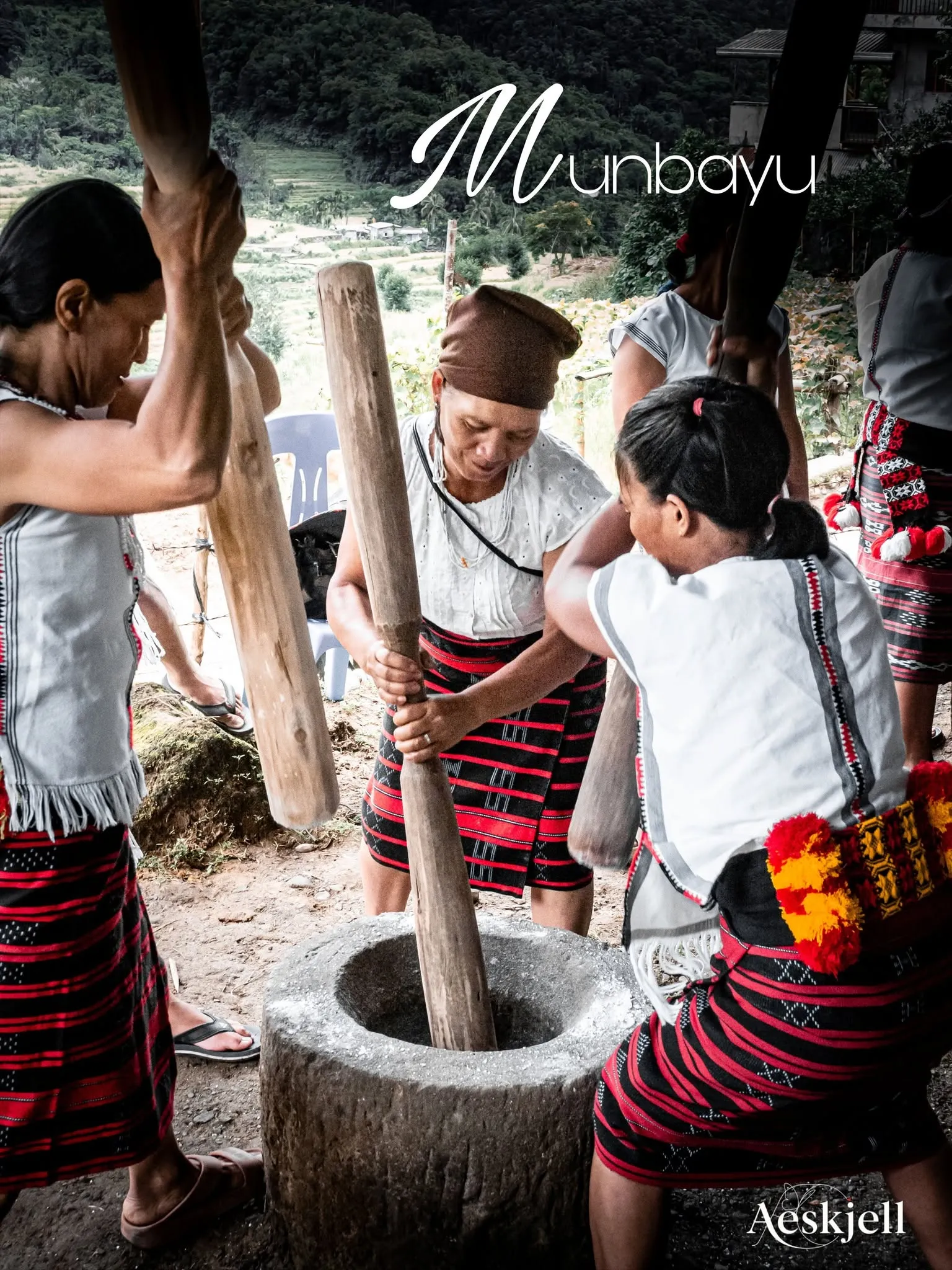
Women pounding rice at the Bakle ad Nagacadan
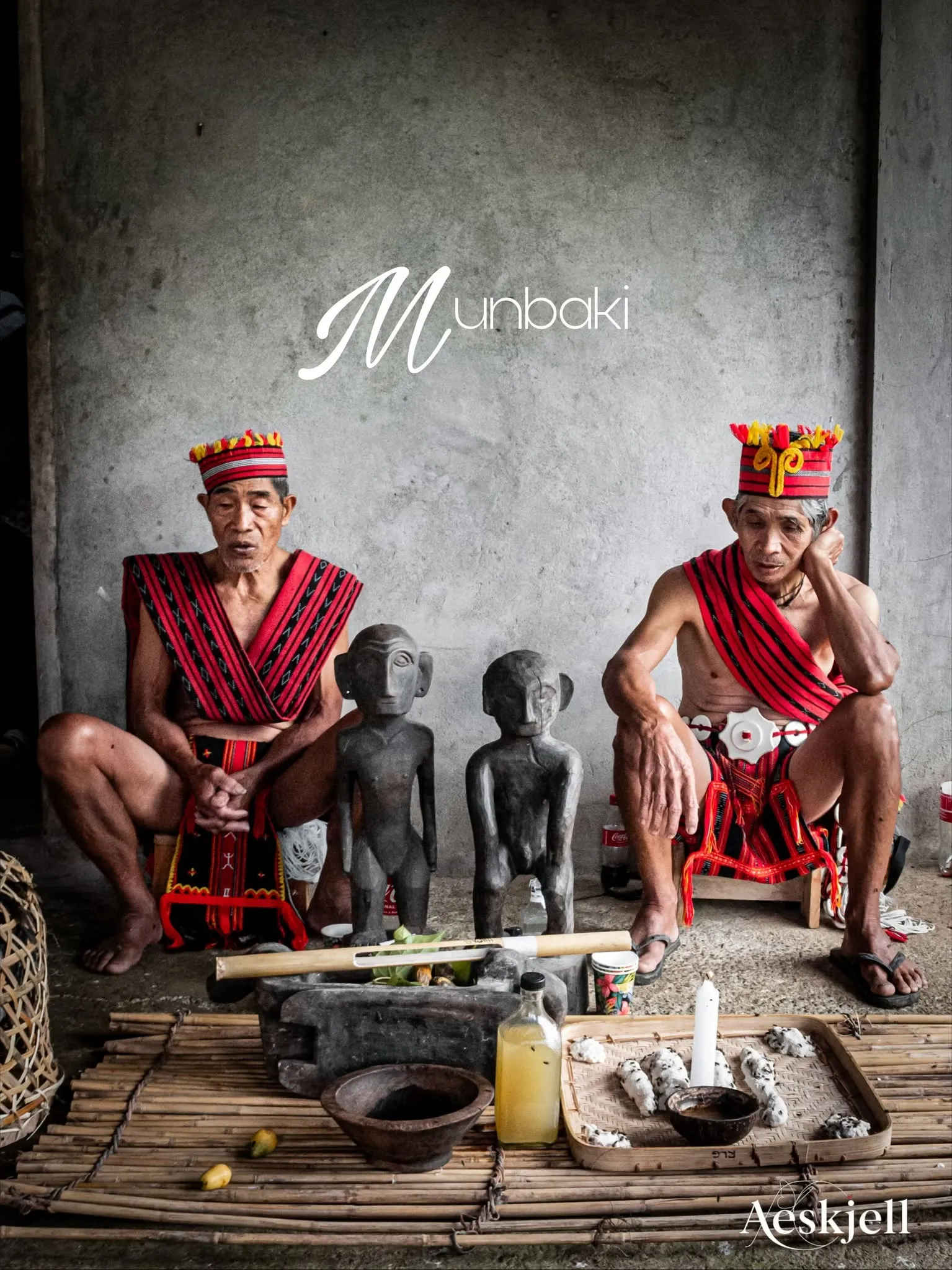
Elders in traditional attire at the Bakle ad Nagacadan

Living culture

Bakle ad Nagacadan

Bakle is the post-harvest thanksgiving of Kiangan. Glutinous rice is pounded and wrapped in banana leaves to make binakle, the rice cakes the festival is named after.

A mumbaki leads the prayers of thanks to the gods and ancestors. Then the community shares binakle and rice wine, to the sound of gongs and dancing.

When
After the harvest, usually August
Photos
Bakle ad Nagacadan 2026

Photos: Aeskjell

Plan a visit

More to see in Kiangan

Falls, caves, mountains, churches and museums, all within the municipality.

  • Ifugao MuseumCultureArtifacts and displays of traditional Ifugao life.
  • Yamashita Surrender SiteHistoryWhere the surrender of 1945 took place.
  • Mt. KapuganNatureTrails and wide views, best at sunrise or sunset.
  • Bagnit FallsNatureClear water falling into a calm pool.
  • Pangagawan CavesNatureCaves with rock formations to explore.
  • Ba-e Rice TerracesNature
  • Ambuaya LakeNature
  • Saint Joseph's ChurchHistory
  • Ifugao Academy and UCCP ChurchHistory

Festivals

  • Gotad ad Kiyangan

    Annual town fiesta

    A celebration of Ifugao performing arts: dances, chants, indigenous games, and gong music, modelled on the uya-uy prestige feast.

  • Bakle

    After the harvest

    The thanksgiving for a good harvest, with binakle rice cakes, rice wine, and rituals led by the mumbaki.

Getting here

  • From ManilaBus to Lagawe, then a jeepney or van to Kiangan.
  • From BaguioBus or van to Lagawe or Banaue, then a local ride to Kiangan.
  • Best time to visitNovember to May, the dry season, for clear views and trekking.
Kiangan Tourism on Facebook (opens in a new tab)

14 barangays · one municipality

Get to know our communities

Select a barangay on the map to see its location, people, officials, and organizations.

Tap a barangay to see its details.

Or choose from the list

Boundaries and land areas traced from the LGU-Kiangan Administrative Map, Survey Mapping Unit, CENRO Lamut. Boundaries are approximate and for planning purposes only. Population: 2020 Census of Population (PSA).

Who to contact

Offices and emergency contacts

Emergency hotlines first, then the municipal offices and their official pages.

In an emergency

Tap to call

Police, fire, disaster response and health, all in Kiangan.

Offices and pages

Barangay officials are listed with each barangay. Find a barangay